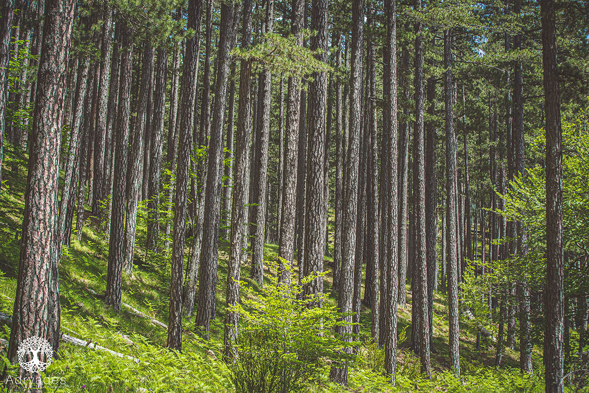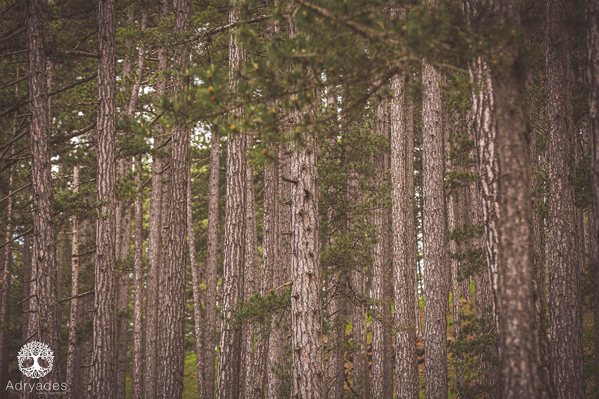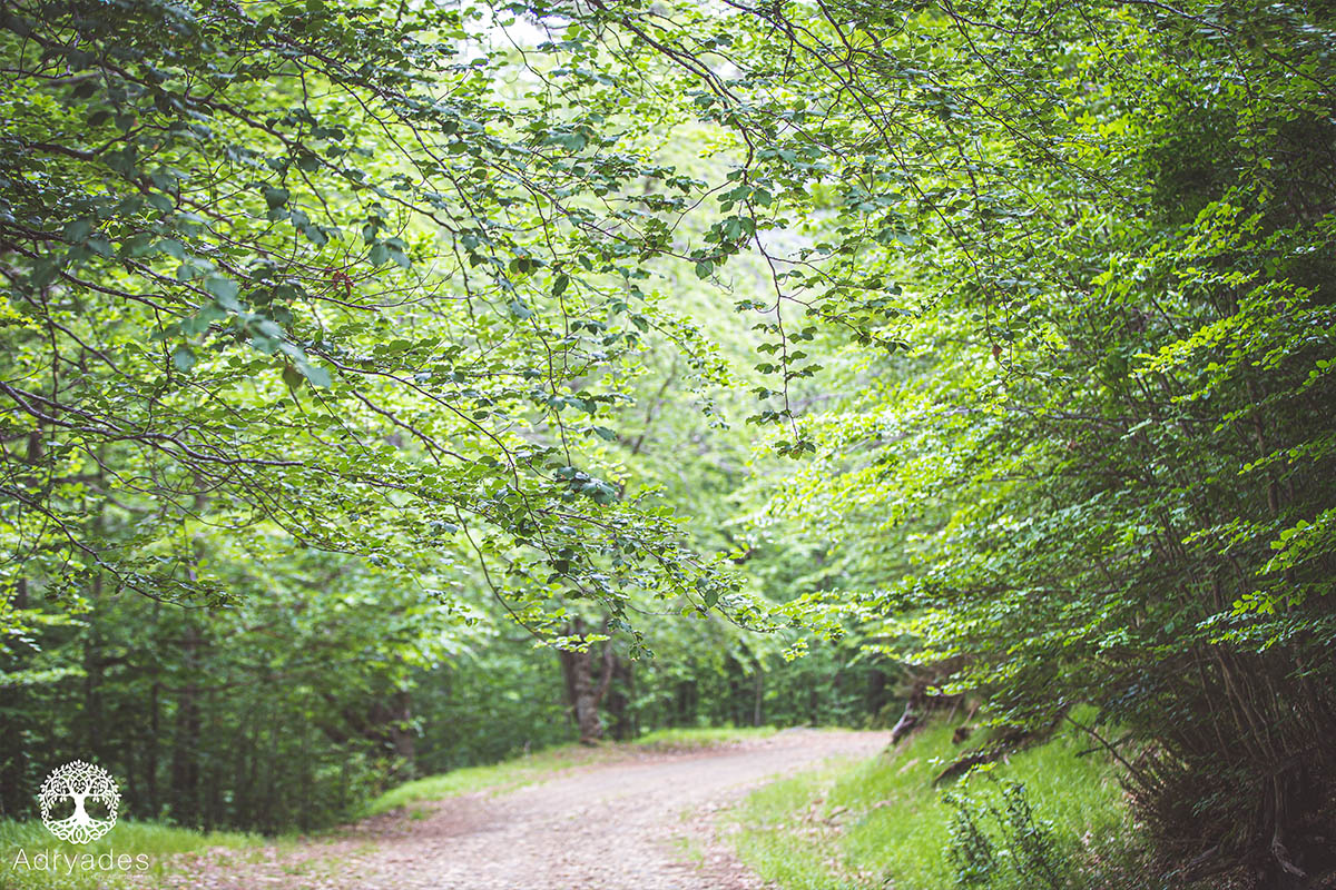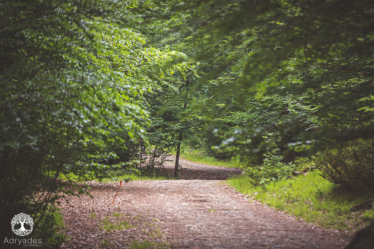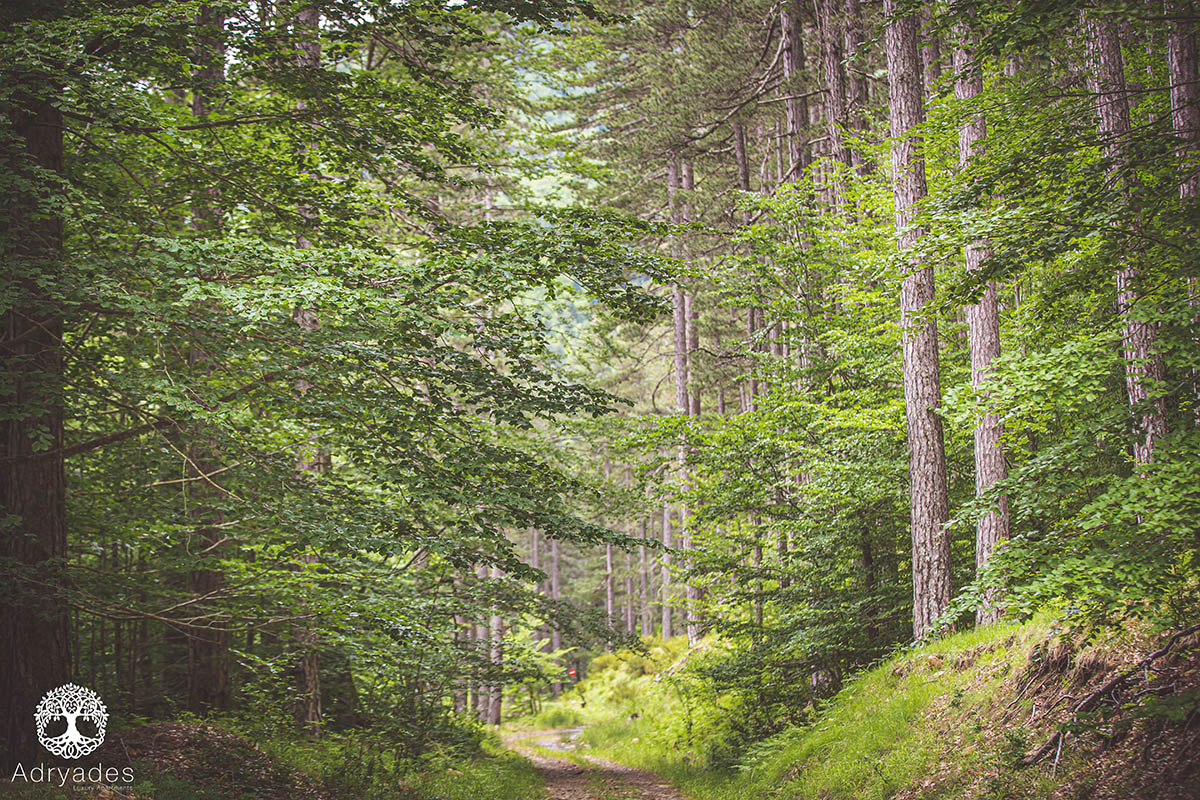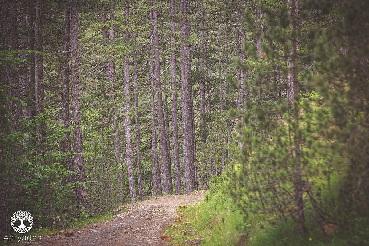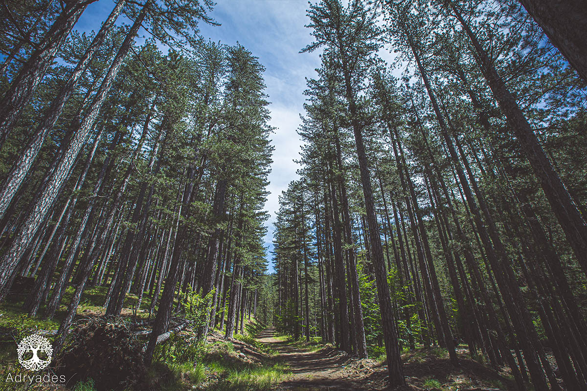
4. Hiking Arkoudorema
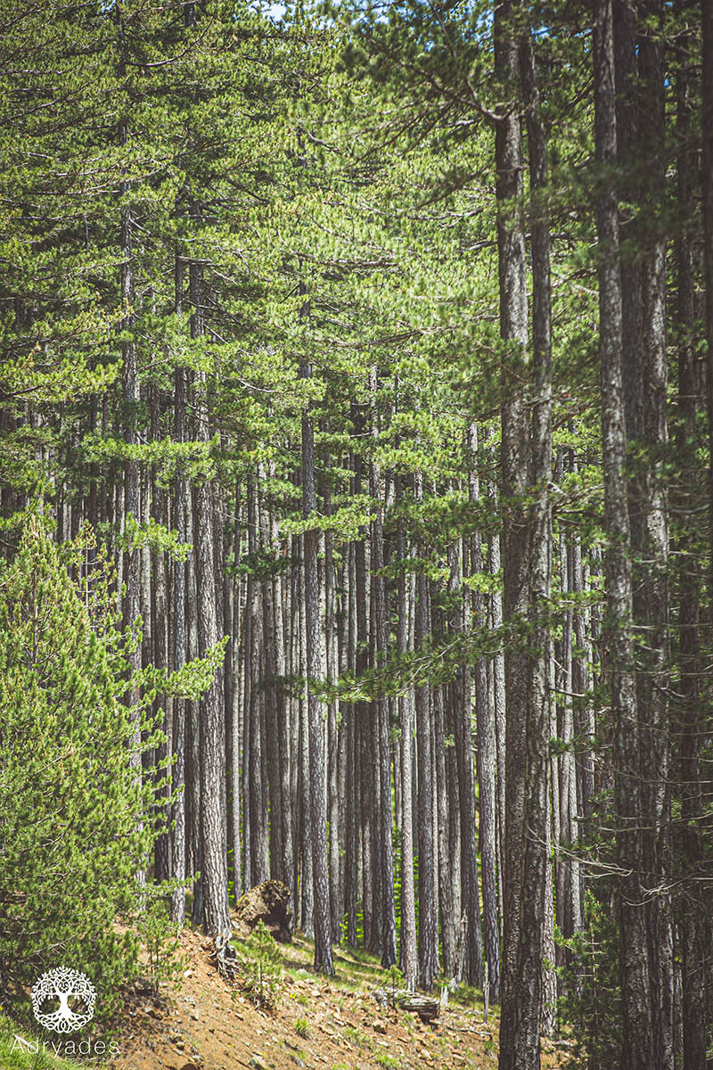
The road to the starting point of the trail is not so easy. We went with a normal car but at a very low speed as the road is dirt and not so good quality.
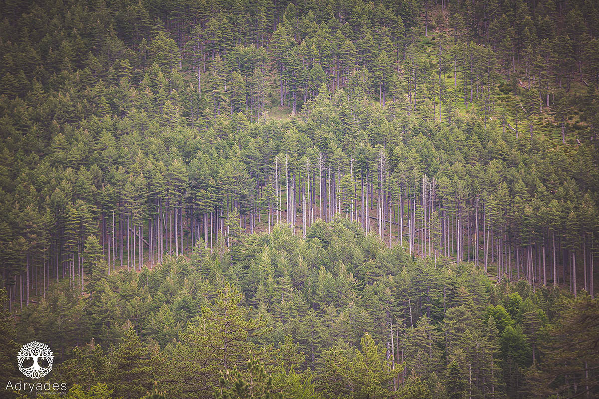
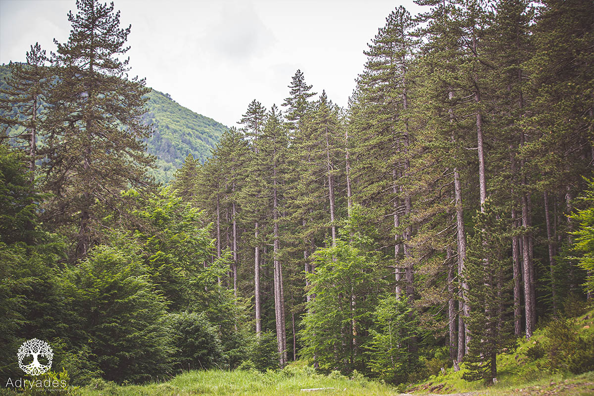
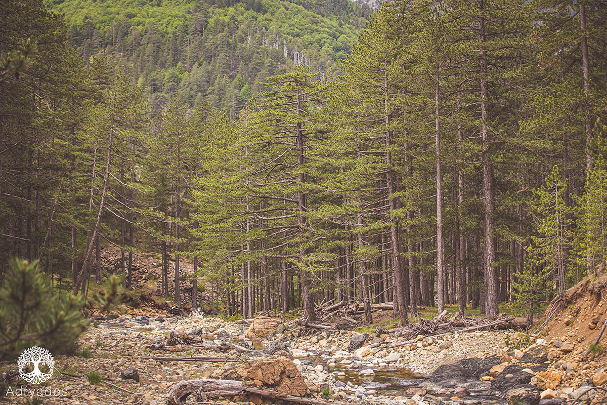
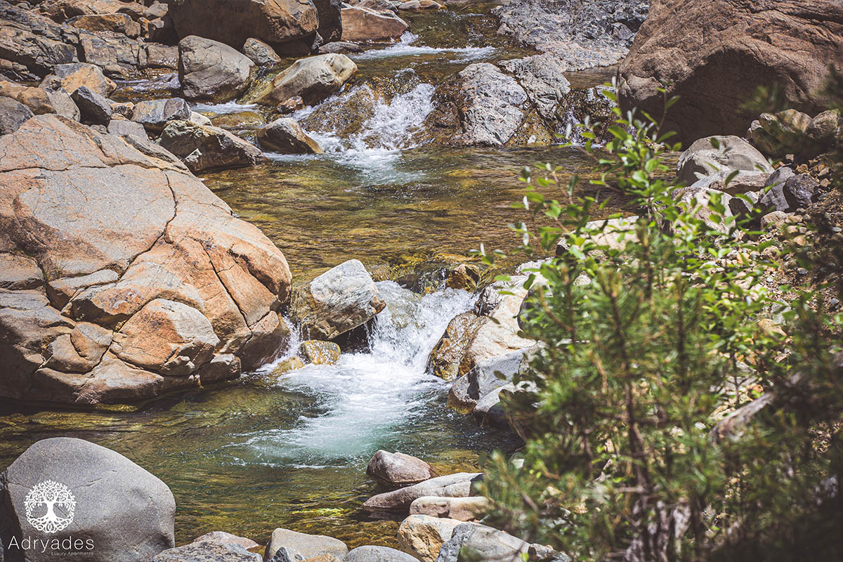
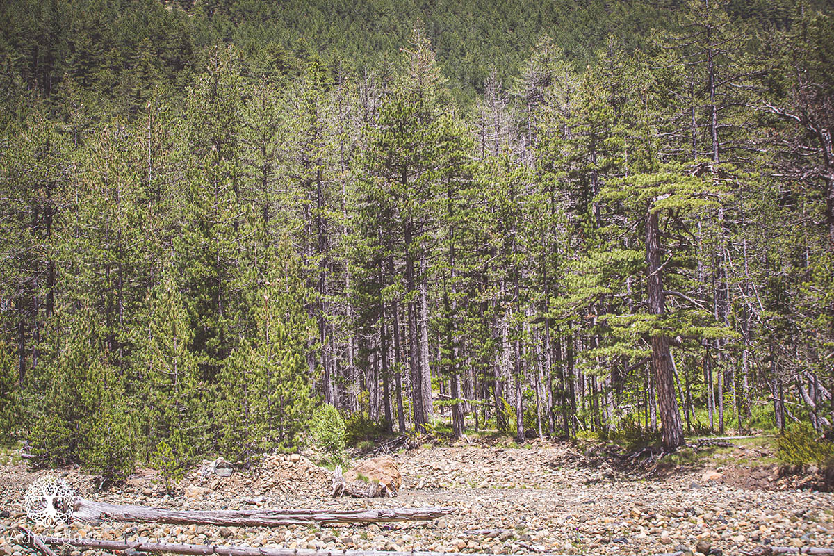
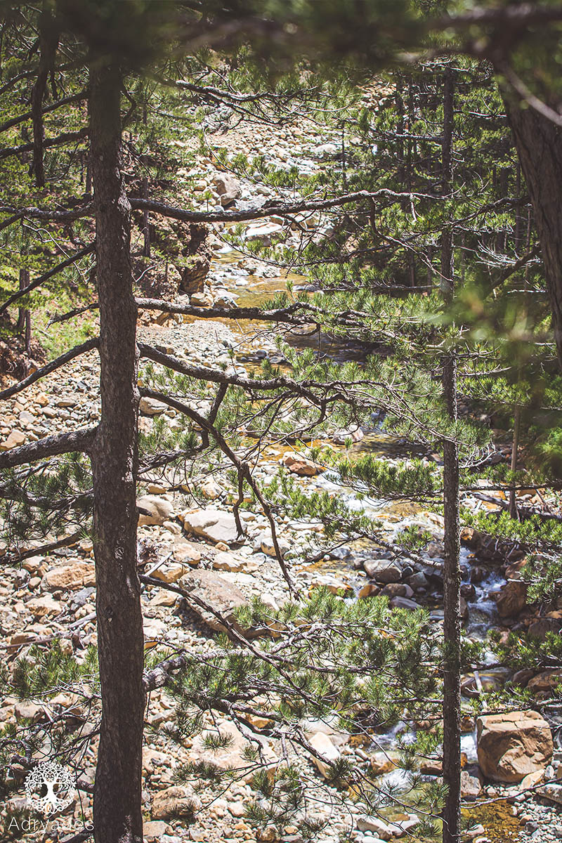
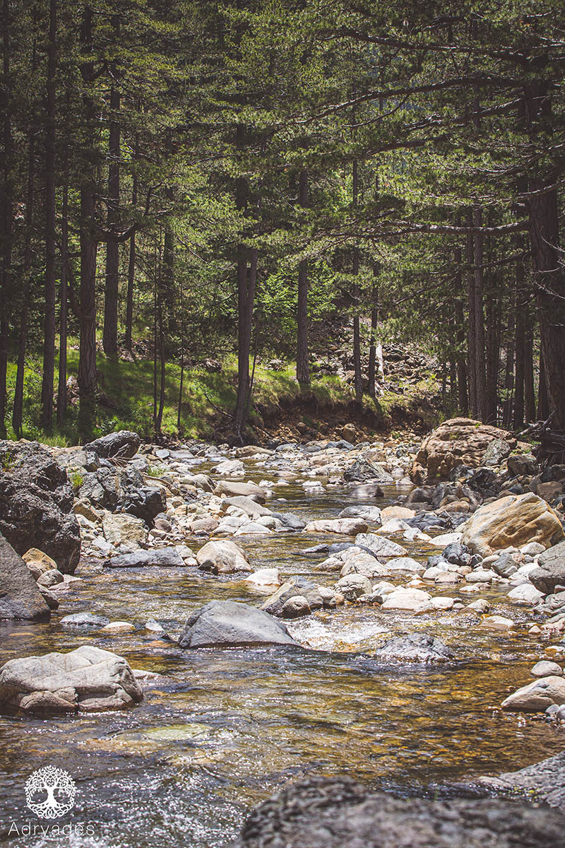
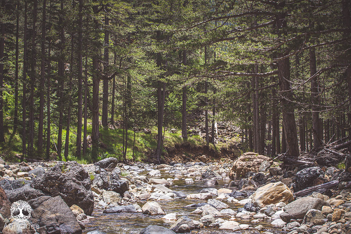
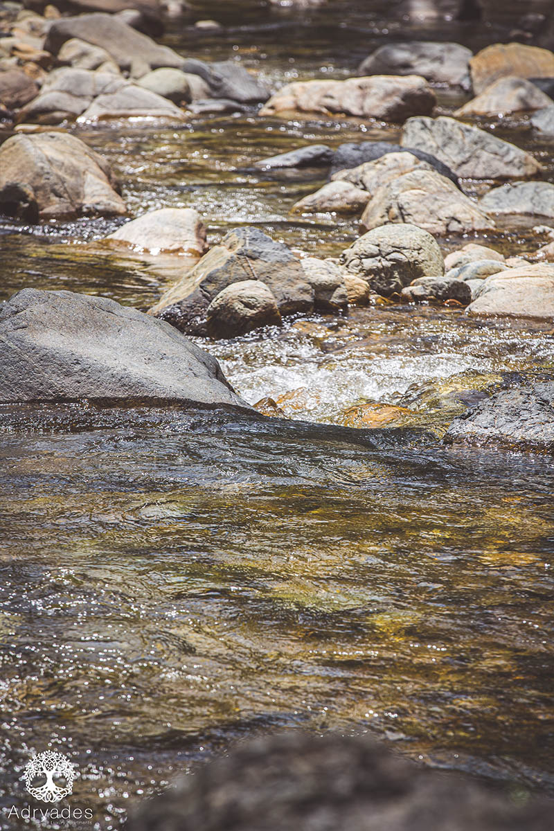
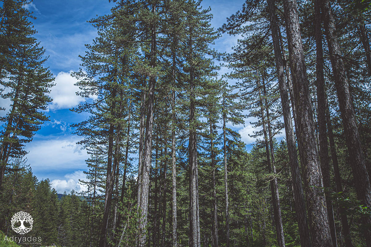
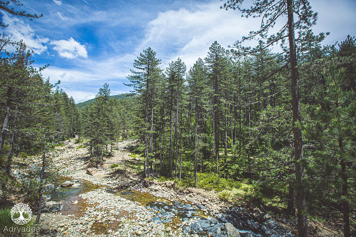
Arkoudorema is a rushing stream in the heart of the National Park of Valia Kalda, in one of the wildest and most unspoilt areas of Greece. The stream is located at an altitude of 1,200 meters at the roots of the folds that form Mount Avgo (2,177 m) from the north and Mavrovouni (2,157 m) from the south. The name of the stream comes from the translation of the local Vlach place name 'Valea di la Ursa', which means 'Valley of the Bear'. The Arkoudorema is formed by many smaller mountain streams and springs, the main ones being Salatura, Zesto, Flegga and Mnima. The stream runs meanderingly over a length of 10 km, from east to west, until it flows into the Aoos River at Smixoma, in the Mourgos Forest. It is a particularly 'lively' stream, as almost every year and depending on the waters it descends, it literally changes the shape of the area. During periods of heavy rainfall, the stream breaks down entire slopes, taking with it the roads and the small forestry service works.